Future-Focused Infrastructure Planning at Hawke's Bay Airport
Maggie Fellowes
Senior Adaptation Advisor
5 min

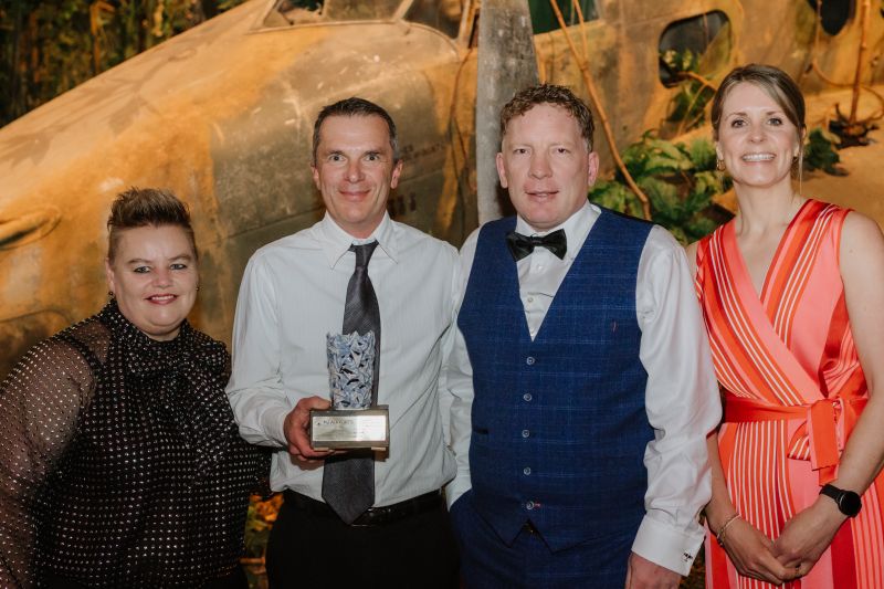
Hawke's Bay Airport is transforming climate-resilient infrastructure planning through its partnership with Urban Intelligence. As the first airport in Aotearoa to implement Urban Intelligence's Resilience Explorer® platform, this collaboration demonstrates how airports can adapt to emerging climate risks while maintaining operations and serving their communities. Hawke’s Bay Airport recently won the Sustainability Initiative of the Year award from the NZ Airports Association for integrating Resilience Explorer® into their adaptation and resilience planning. This recognition highlights leadership and sustainability in action, setting a new standard for infrastructure resilience across Aotearoa.
Positioned just metres from Hawke's Bay and surrounded by wetlands, this regional airport serves 180,000 residents while facing escalating climate risks. Cyclone Gabrielle demonstrated how quickly essential infrastructure can be compromised when multiple hazards converge. For an airport that supports key economic sectors, including horticulture and tourism, ensuring operational continuity is a critical community need.
Standard approaches were unable to address the airport's complex multi-hazard environment. Static reports become outdated quickly, and traditional analysis stops at direct impacts. The airport needed to see where their risk really lies across coastal flooding, rising groundwater, tsunamis, and other climate impacts.
Seeing the Full Picture
Resilience Explorer® integrates assets, hazards, and environmental change to provide always current risk information. Spatial analysis identifies which runways, terminals, and supporting infrastructure are most exposed, enabling more informed, safer investments based on actual risk profiles.
The platform addresses both acute risks (coastal flooding, tsunamis, liquefaction) and chronic environmental changes (coastal erosion, groundwater rise). Interactive mapping reveals the full picture of interconnected risks across different timeframes, creating clearer conversations and risk understanding through simple visuals.
Implementation provided a consistent evidence base for collaboration. Multiple organisations, including Unison Networks, Hawke's Bay Regional Council, Napier City Council, and Airways, provided critical data that was integrated into the platform. Working from consistent, continuously updated data eliminated conflicting reports and cut duplication.
Turning Analysis into Action
The approach has already influenced critical decisions. When constructing their new fire station, the airport raised the floor level by 1.2 metres to enhance flood resilience, protecting scarce capital by testing the investment against future risk profiles. Plans for a tenanted aircraft hangar were relocated to areas with lower groundwater risk, thereby avoiding costly errors.
Project managers and infrastructure teams now use live assessments when evaluating development proposals, moving insights directly into planning, budgeting, and asset workflows.
Looking Ahead
Their commitment to data-driven planning demonstrates how climate adaptation can strengthen critical infrastructure for entire regions. We're proud to have worked alongside Hawke's Bay Airport on this award-winning initiative.
Hawke's Bay Airport climate resilience case study | Resilience Explorer®
How Hawke's Bay Airport uses Resilience Explorer® to test investments against multi-hazard risk, in work recognised at the 2025 NZ Airports Awards.